The 3rd International Symposium on the Silk Road Geographic Information System and Application held in Russia
The 3rd International Symposium on the Silk Road Geographic Information System and Application (hereafter referred to as SILKGIS2019) and the 25th meeting of the Geographic Information Science Committee of the International Cartographic Association was held in Murmansk, Russia, between January 20th and February 2nd. This meeting was hosted by the International Cartographic Association (ICA) and the Research Center for Ecology and Environment of Central Asia (RCEECA), organized by Murmansk Institute of Marine Biology, Murmansk State Arctic University and Russian Geographical Society Murmansk Branch and co-organized by International Eurasian Academy of Sciences, World Geoscience Data Center, Moscow State University, Xinjiang Institute of Ecology and Geography of Chinese Academy of Sciences and many other research institutes. It attracted nearly 100 representatives from mainland China, Hong Kong, Russia, Austria, Belgium, Czech, Italy and Poland and other countries and regions.
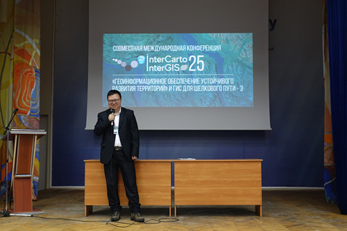
At the opening ceremony, Chen Xi, Vice President of the Xinjiang Branch of the Chinese Academy of Sciences, Director of RCEECA and Professor of Xinjiang Institute of Ecology and Geography, delivered a speech as the chairman of the organizing committee of SILKGIS2019. He looked back on the development of SILKGIS and took joint interviews from the press before the meeting.
The academic exchanges at the conference was conducted surrounding 4 parts, i.e. “geographic information science’s support for ecology, economy and social sustainability”, “geographic information science and the Silk Road”, “model and remote sensing methods of geographic information science for earth research” and “mapping and geographic information science applied in climate and environment changes”. At the sub-conference of “geographic information science and the Silk Road”, participants exchanged ideas and discussed about the theory and technology of geographic information science, natural resources and environment mapping, disaster emergency management, spatial data structure and geo-spatial data sharing, big data and data mining, ecosystem management and simulation, climate change and adaptation, food security and agricultural sustainability and how geographic information science serves the Silk Road. At the sub-conference of “geographic information science and the Silk Road”, Chen Xi also delivered an academic report titled “Sustainable Utilization of Water Sources, Water and Ecosystem Comprehensive Management of the Great Lake Area of Central Asia”.
“International Symposium on the Silk Road Geographic Information System and Application”, launched by RCEECA, is held once a year. It aims to build a platform for academic exchanges and fruits sharing for geographic information researchers from the countries along the Silk Road Economic Belt, build itself into a regional academic conference on geographic information series, serve and support the scientific and technological needs for the construction of the Belt and Road Initiative. The first meeting was held in 2017 in Iran with over 100 participants from 8 countries and regions while the second was held in 2018 in Chengdu, China, participated by nearly 200 people from 12 countries and regions.

Chen Xi delivers the report

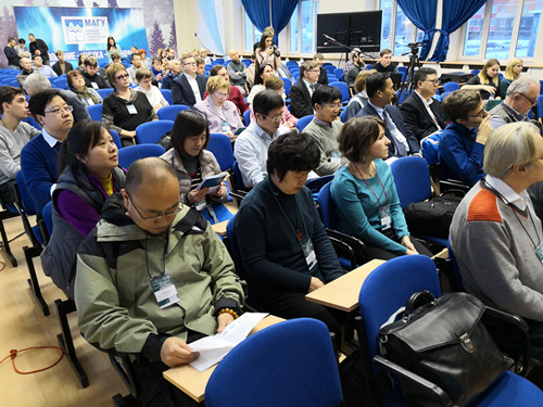
Conference scene

